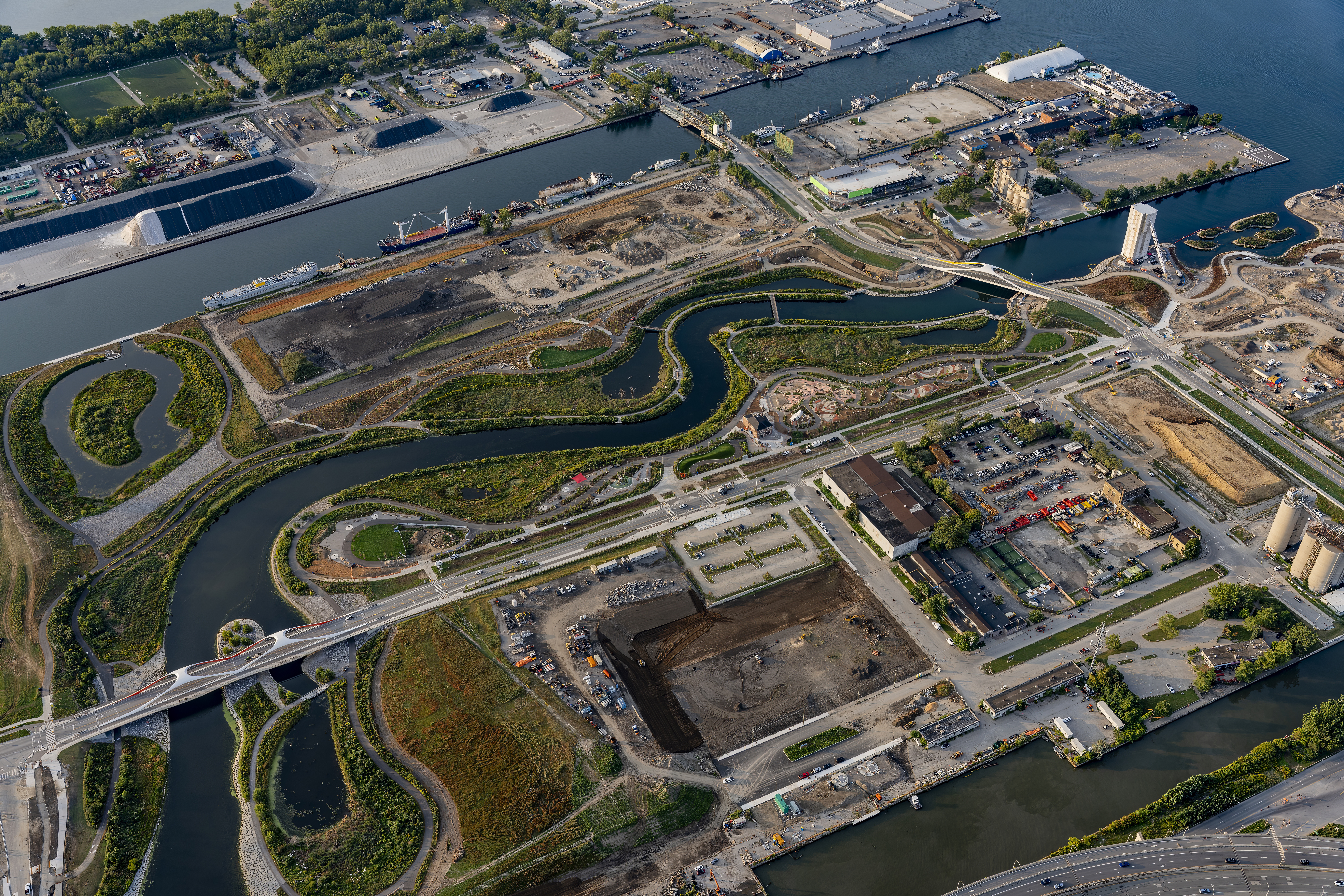
Biidaasige Park at the Port Lands
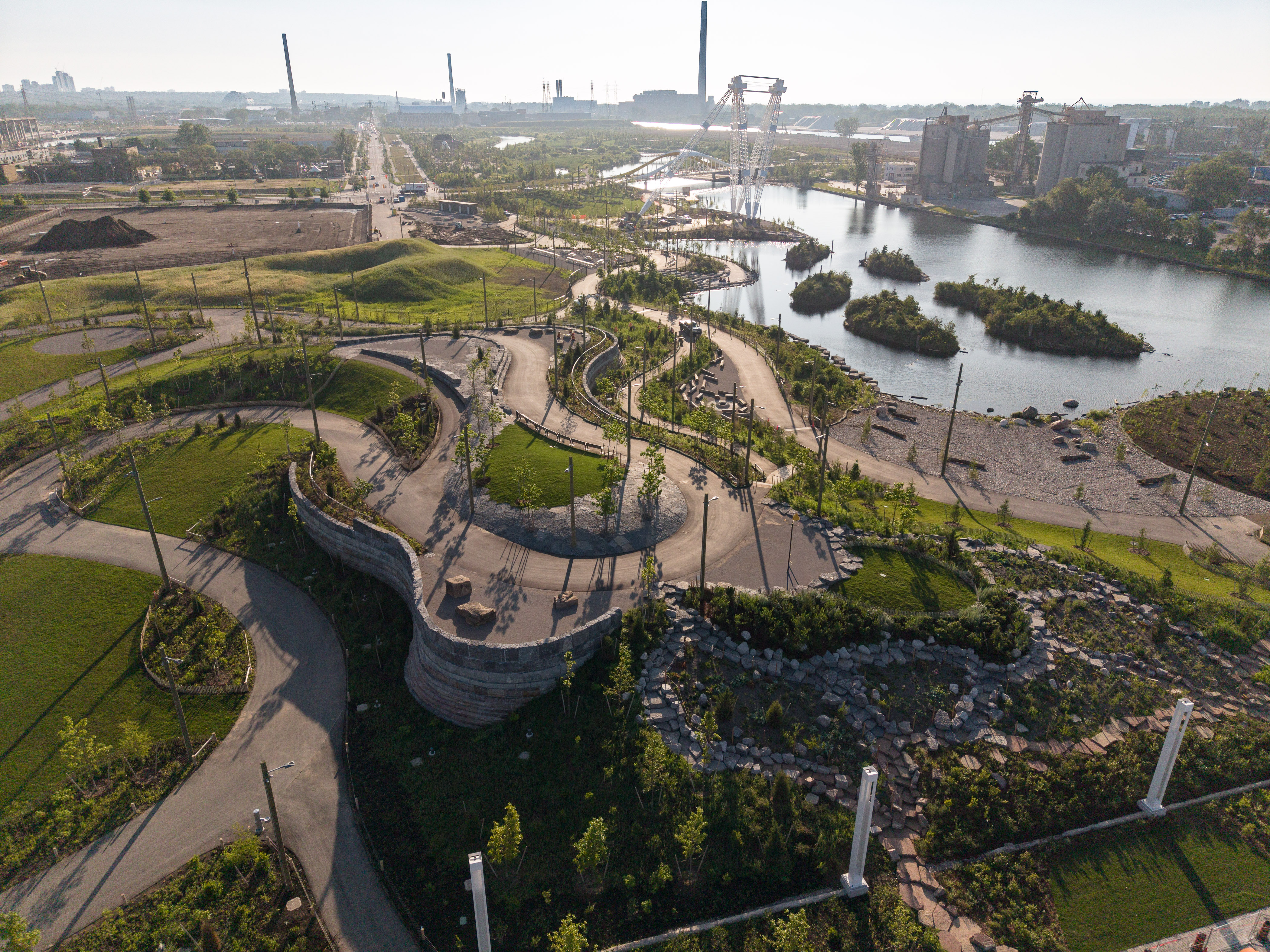
The Port Lands Flood Protection project is Canada's most ambitious climate adaptation effort and one of the largest nature-based infrastructure projects in North America. By giving the Don River room to roam, MVVA has created a resilient and lush urban district anchored by Biidaasige Park—Toronto's largest new public space in a generation. The Port Lands is the result of MVVA's 2011 Lower Don Lands Framework Plan and a continuation of the effort to couple parkland and flood protection infrastructure at Corktown Common.
For nearly two centuries, the entire Don River watershed—140 square miles of increasingly urbanized land—funneled into Lake Ontario through the industrialized Keating Channel. The river's mouth, once the largest freshwater wetland in the Great Lakes, was declared ecologically "dead" by mid-century. In 1954, Hurricane Hazel devastated Toronto, establishing a new standard for flood protection.
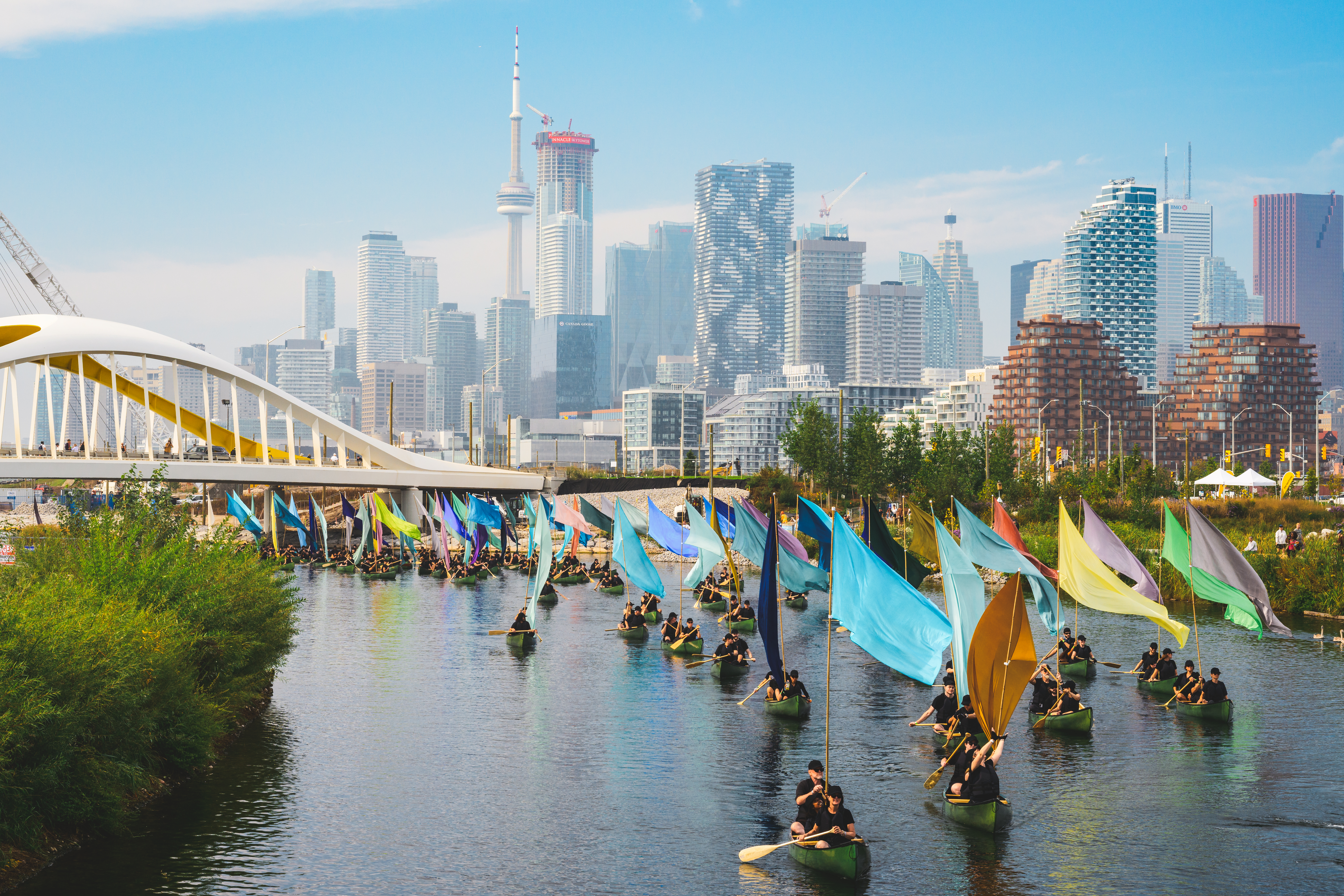
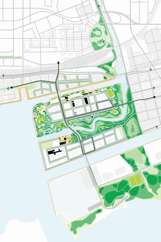
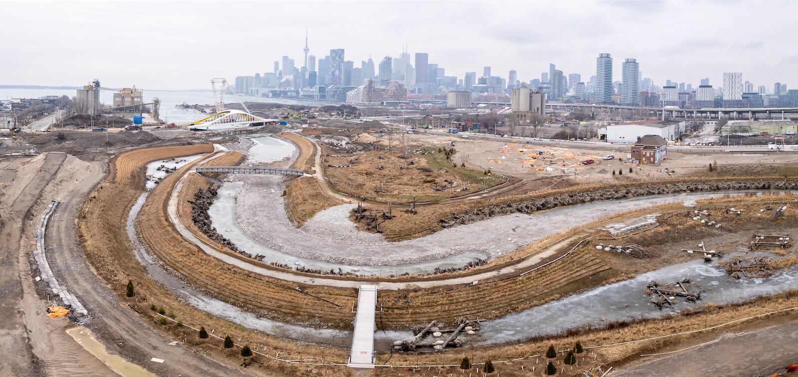
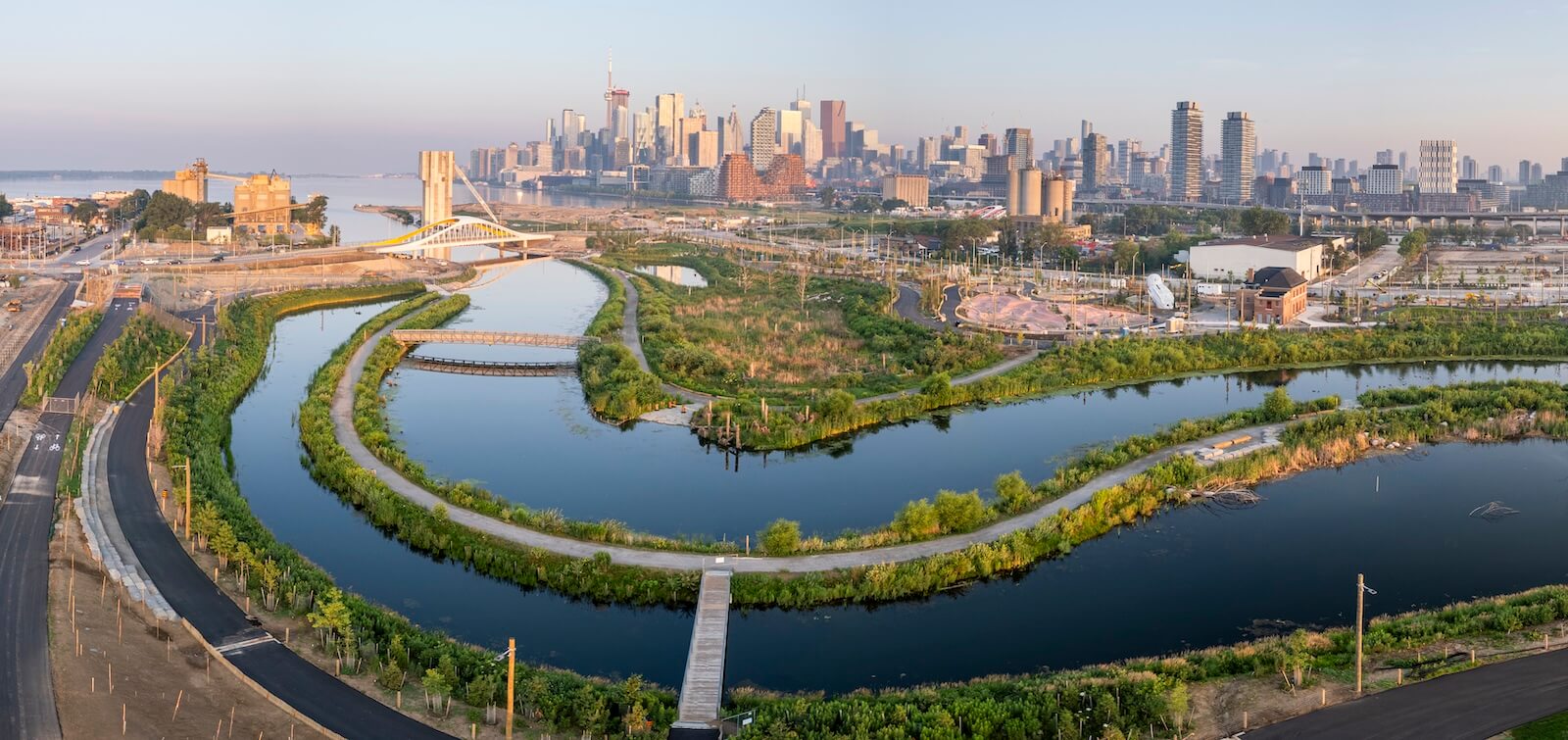
Rather than resist floodwaters, MVVA designed a naturalized 1-kilometer river valley capable of absorbing a hurricane-scale event while protecting 700 acres of downtown Toronto and reconnecting the life of the city with the water. The solution transformed contaminated post-industrial land into a network of parks surrounding Ookwemin Minising, a 100-acre island designed to support 25,000 new residents. More than basic flood infrastructure, the new river valley connects Ookwemin Minising to the nature, cultural legacy, and Indigenous significance of Toronto’s ravines.
For nearly two decades, MVVA has led the $1.4 billion CAD effort and extensive multidisciplinary team of ecologists, hydrologists, indigenous knowledge-keepers, architects, and more to deliver the naturalized river and every element needed for a new neighborhood to thrive—including parks, public transit networks, roads and bridges, and natural habitat.
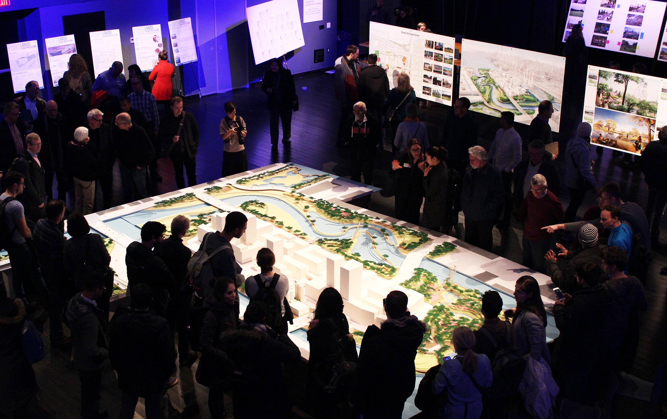
Building a River
The new river mouth absorbs regulatory flood events 800 times greater than the Don's base flow, reaching 1,560 cubic meters per second. This capacity protects downtown while allowing the river to express its seasonal rhythms. The project required staggering earthwork: 1.3 million cubic meters of contaminated soil were excavated and largely retained on site to raise parklands above flood risk.
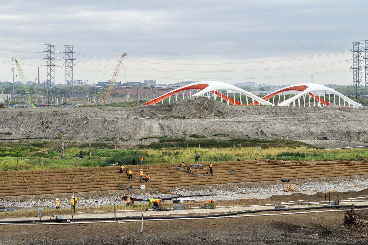
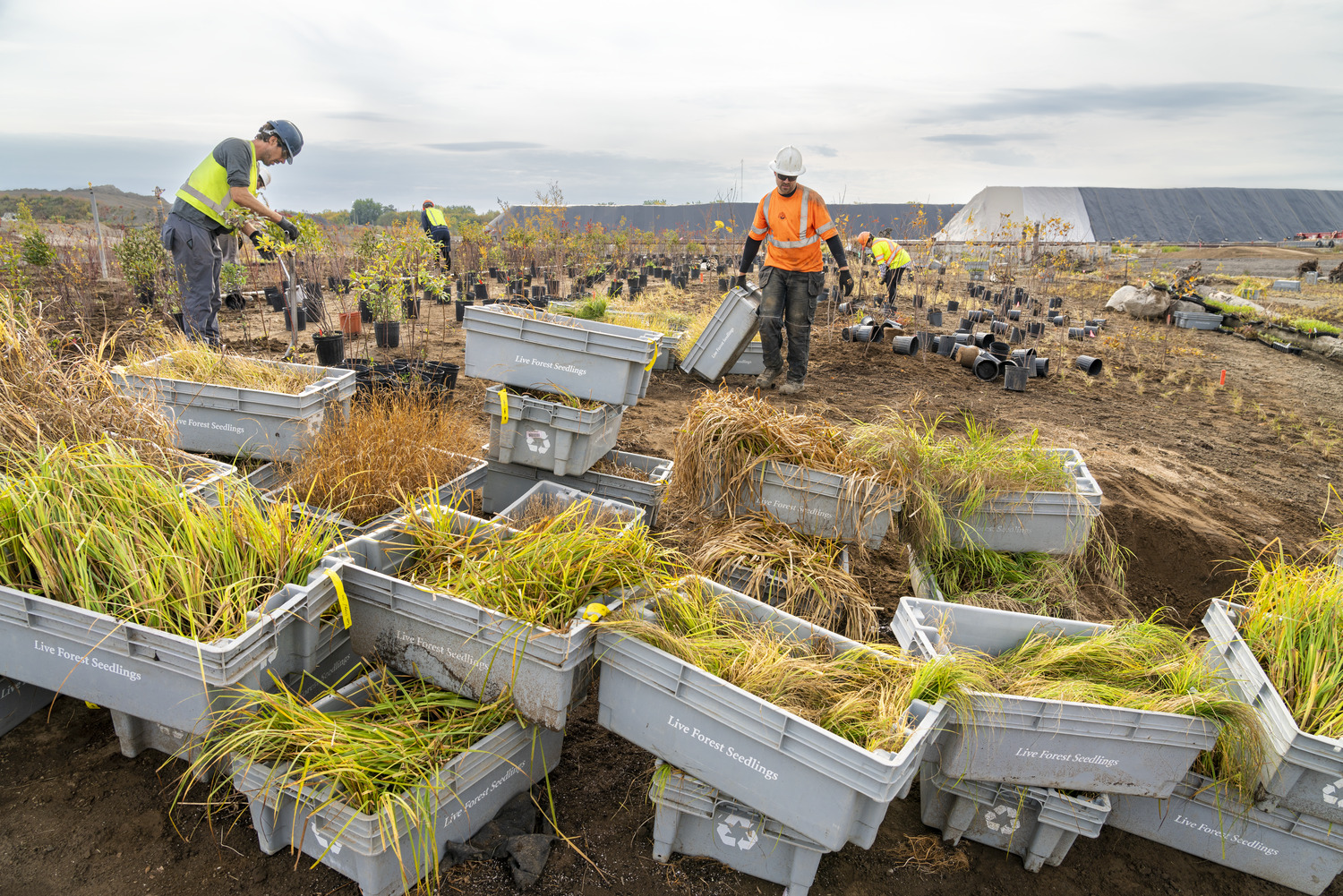
More than 5,000 trees, 70,000 shrubs, and two million herbaceous plants establish native communities—from marshes to floodplain forests—that support migratory birds, spawning fish, amphibians, and pollinators. Five hundred linear meters of wood cribwalls and fabric-encapsulated soil lifts stabilize riverbanks while remaining hidden beneath water and vegetation, creating a landscape that looks and functions like a natural floodplain.
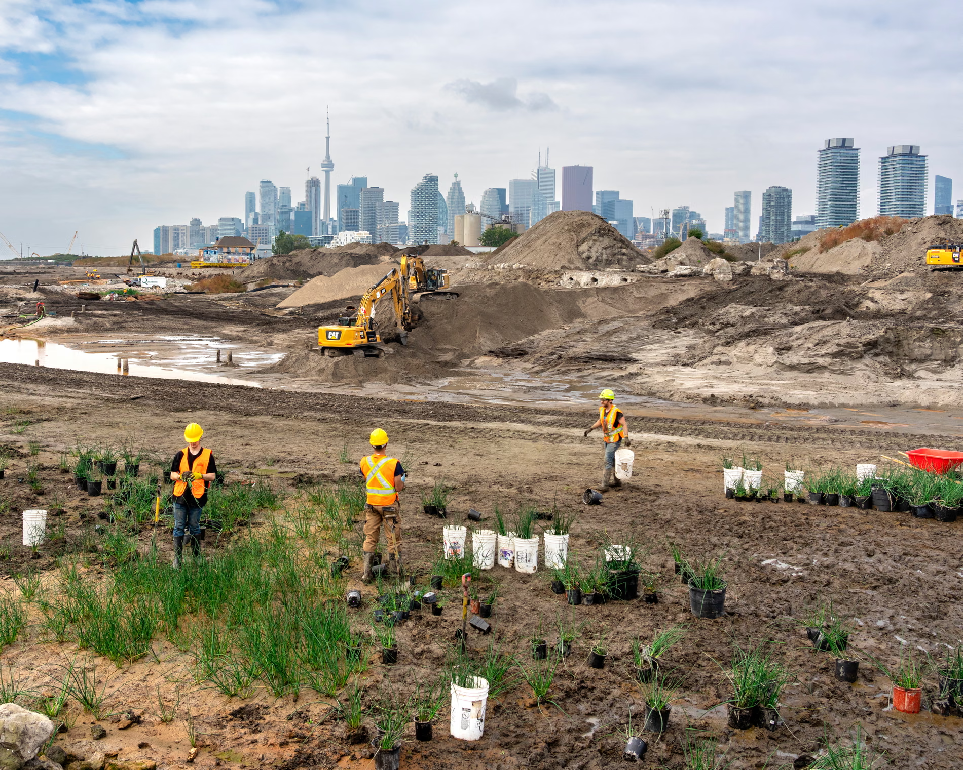
In 2021, native plants germinated from seeds more than a century old that had been buried seven meters below grade. Two years later, these sedge, bullrush, ferns, and black tupelo were reintroduced to the restored wetlands, allowing the plants to return as testimony to the site's regenerative capacity.
Biidaasige Park
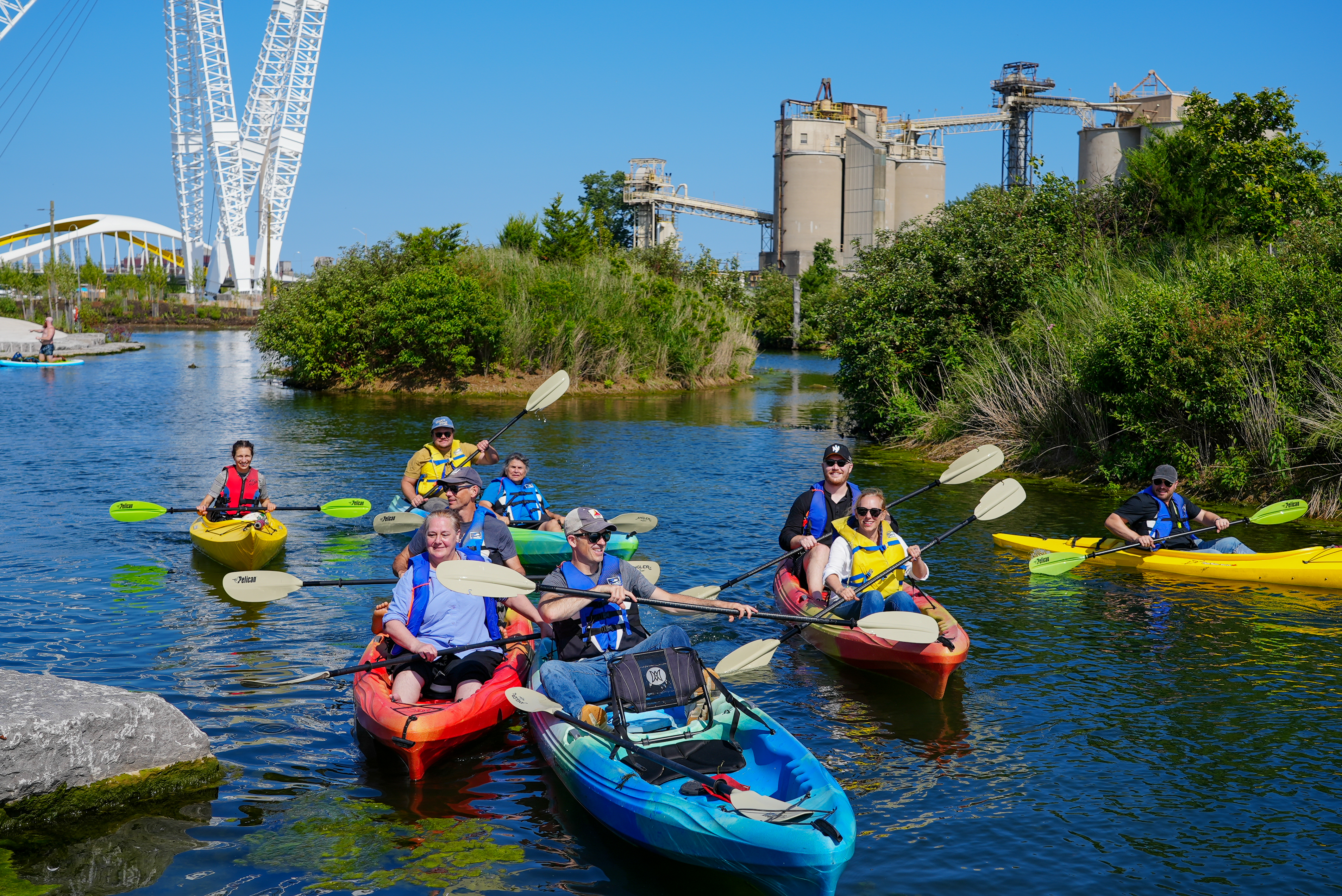
Biidaasige Park—meaning "sunlight shining toward us" in Anishinaabemowin—is the largest new park to open in Toronto in a generation. Situated on Ookwemin Minising ("place of the black cherry trees"), the park serves as both a destination and neighborhood gathering space for future residents. The park has created unparalleled access for Torontonians to experience the Don River and Lake Ontario on foot and by kayak.
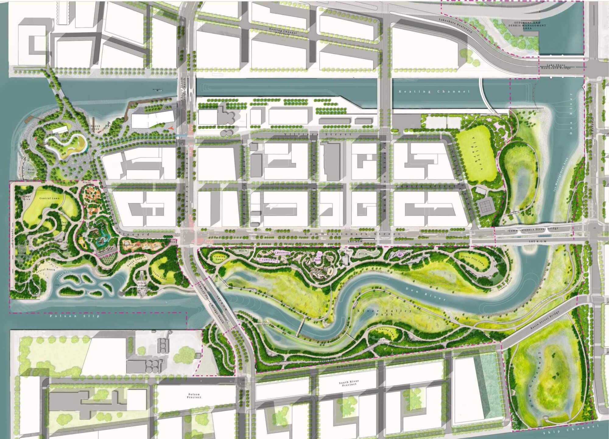
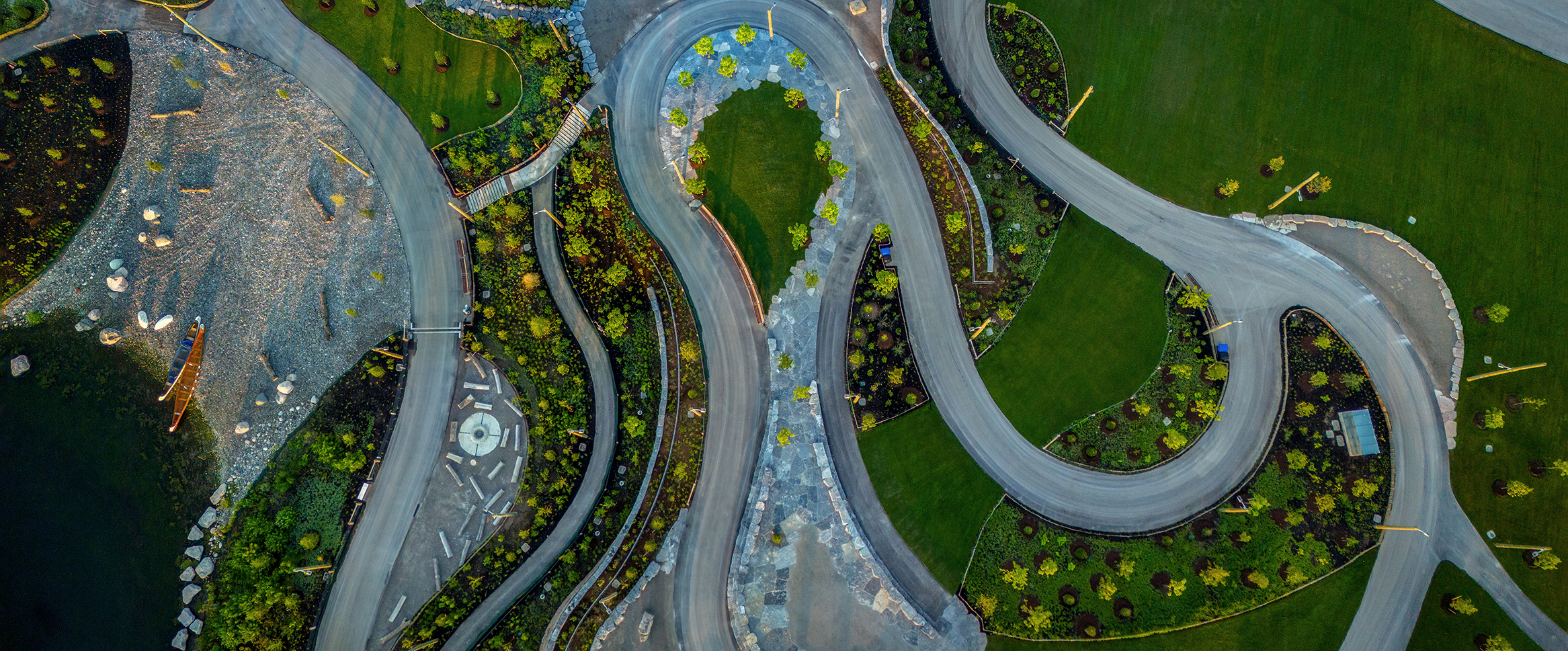
The design organizes the landscape through a layered forest frame of clearings, glades, and hedgerows that create intimate moments while managing scale. Programming varies by topography: intensive civic uses—playgrounds and event lawns—concentrate to the west near downtown; moving eastward, the experience shifts toward nature immersion through trails, overlooks, and paddling access.
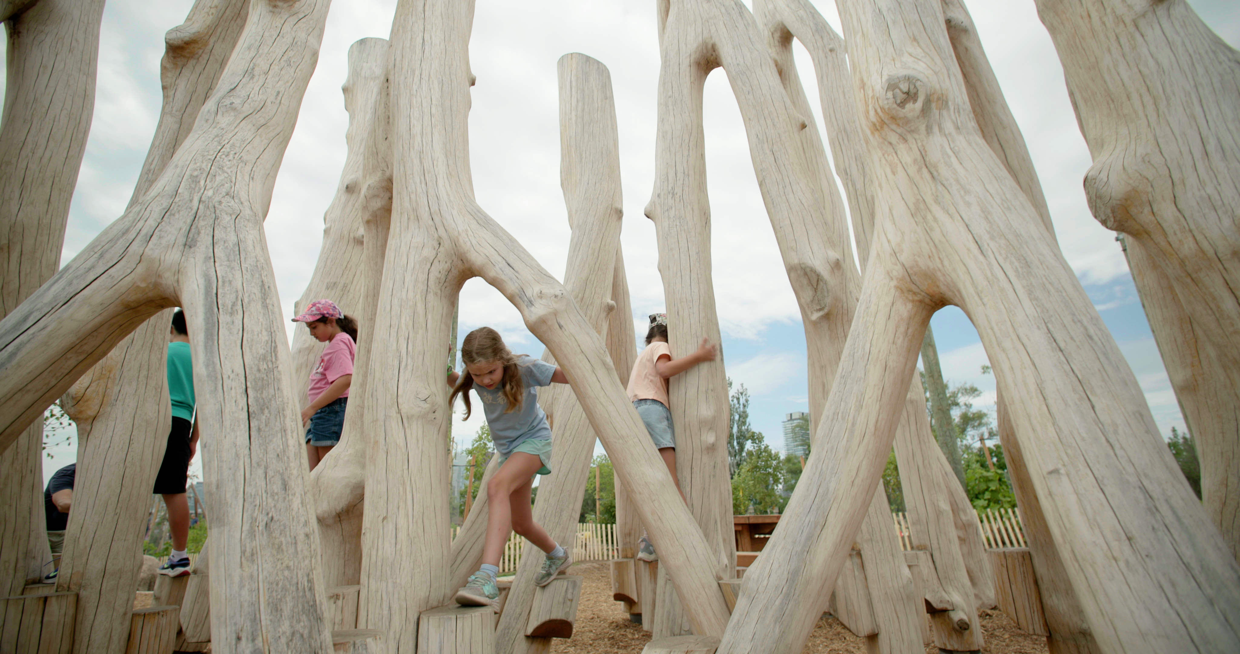
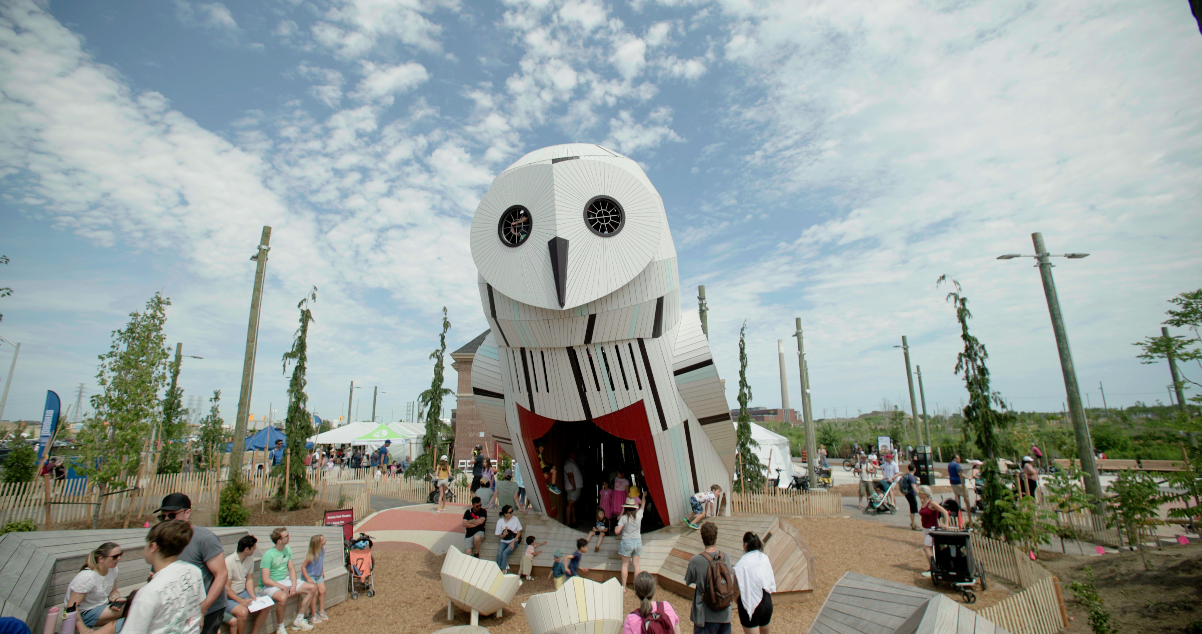
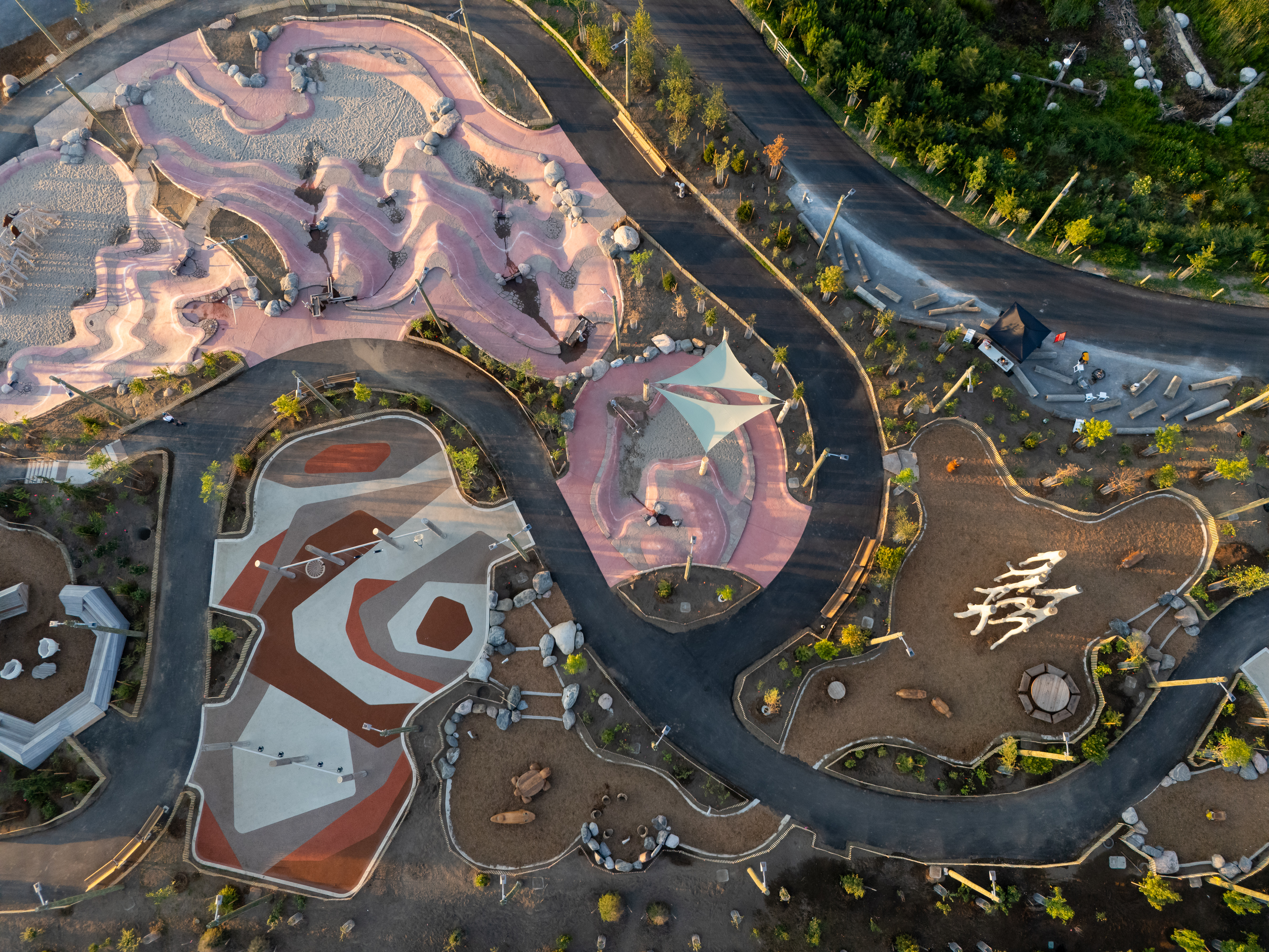
The Badlands, inspired by the Cheltenham Badlands, features dramatic topography along with water pumps, cranks, and jets to invite multi-sensory water play. The Canoe Cove offers a sheltered paddling area, while the Promontory, a nine-meter landform constructed from the excavation of the Cove, anchors the park’s western edge and offers commanding city views.
The Lassonde Art Trail, a 4km network of fifteen contemporary art sites, weaves through the parkland with works celebrating the site's Indigenous heritage and ecological transformation.
Indigenous Reconciliation and Cultural Revitalization
From inception, Indigenous knowledge shaped the Port Lands transformation. Formal community engagement sessions beginning in September 2020 brought together representatives from Mississaugas of the Credit, Alderville Indian Band, Scugog Island First Nation, Beausoleil First Nation, Chippewas of Georgina Island, Rama First Nation, Huron-Wendat Nation, Toronto Urban Indigenous Organizations, Curve Lake First Nation, and Hiawatha First Nation.
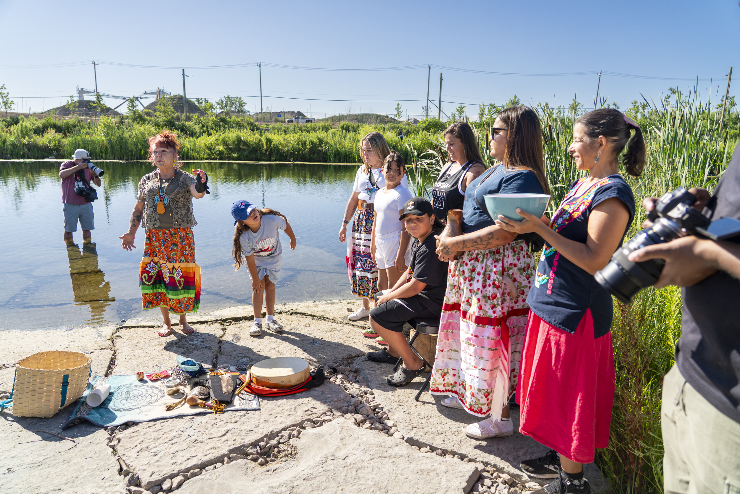
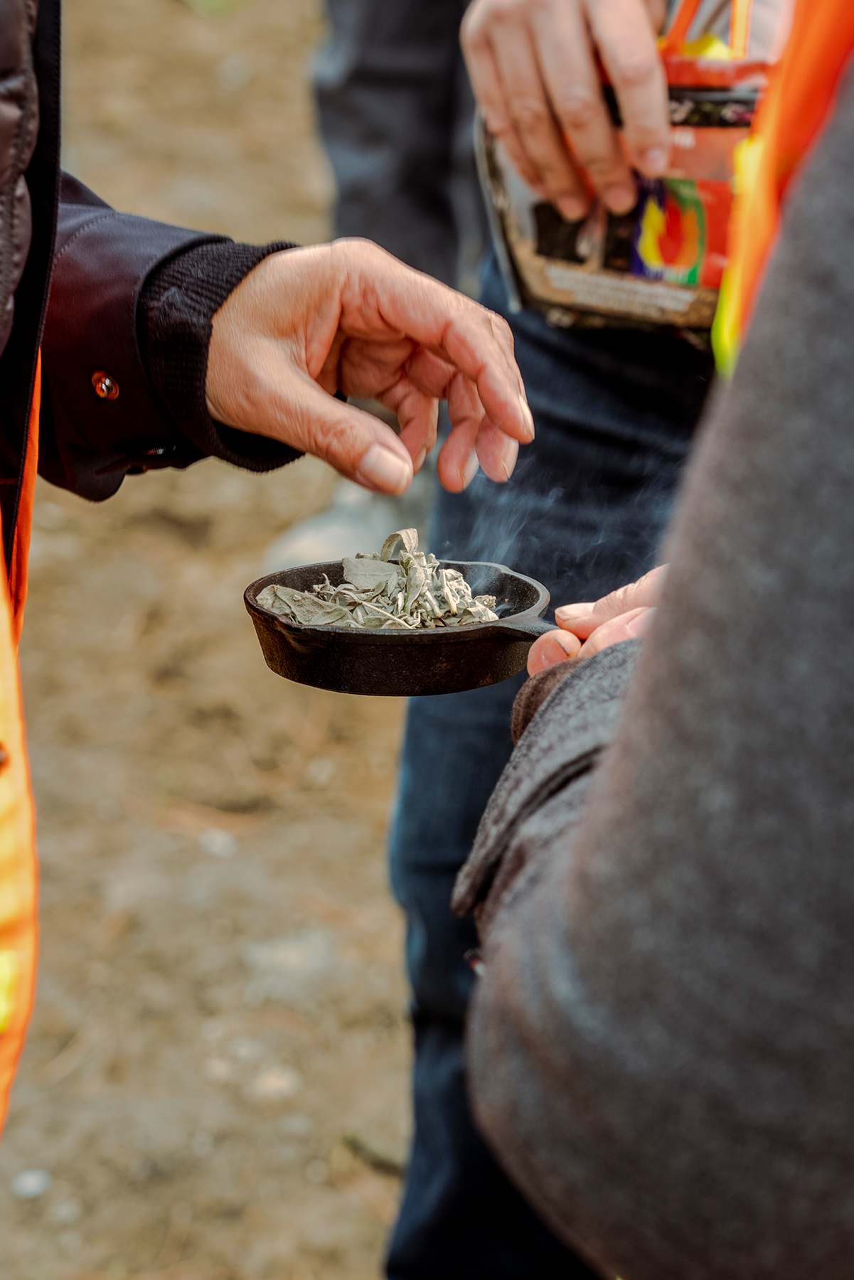
These consultations centered on sharing stories of Indigenous leadership and deep relationships with land and waterways. The park's naming—Biidaasige and Ookwemin Minising—was chosen by Elder Shelley Charles and members of an Indigenous Advisory Circle along with LURA and MinoKamik Collective to celebrate restoration and reconciliation. Indigenous cultural expertise informed the identification of plants with medicinal and cultural significance woven throughout the planting design.
Growing a Neighborhood
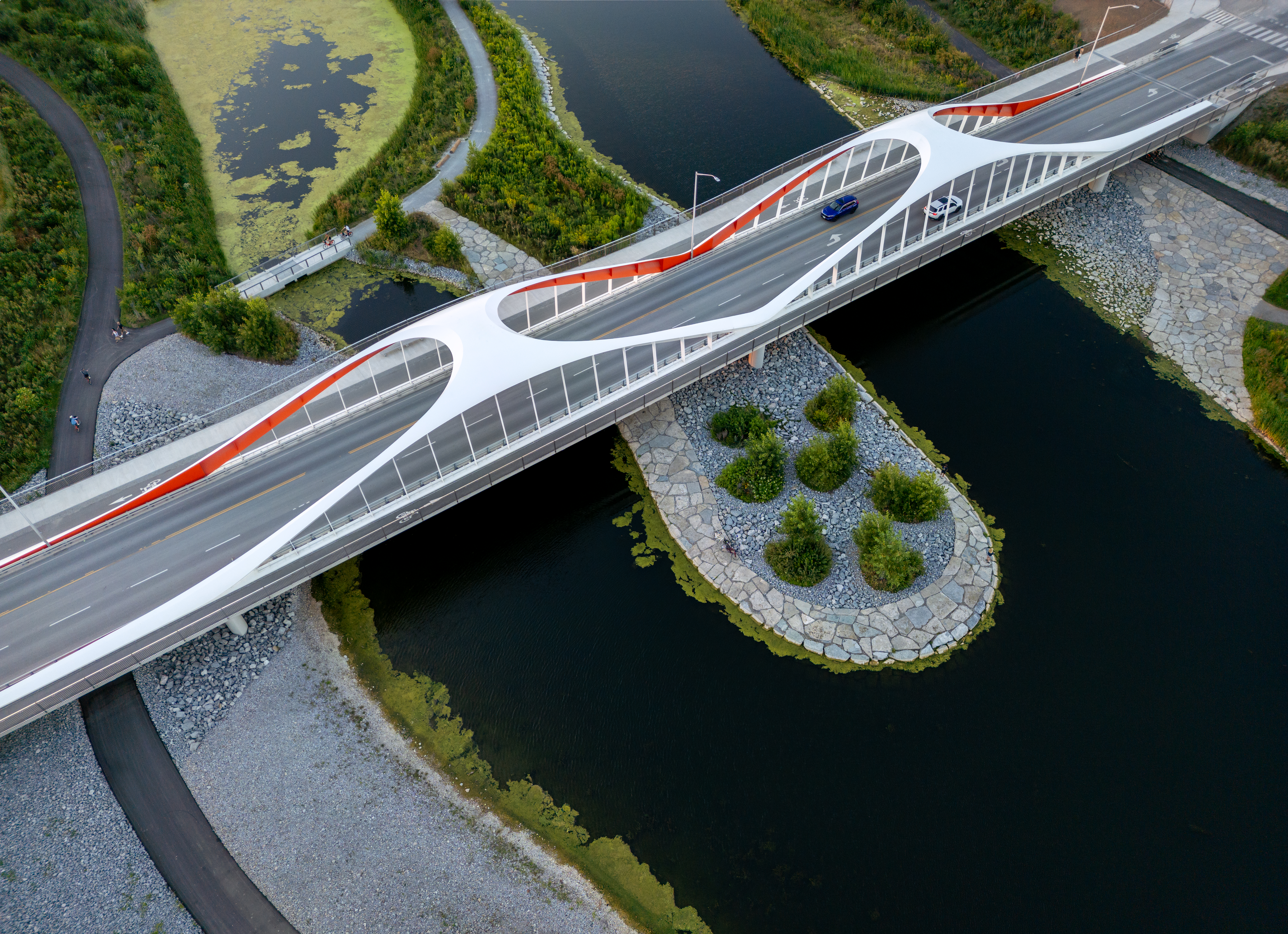
MVVA's landscape-led approach extended beyond park design to shape broader urban transformation. The project mends critical gaps in Toronto's mobility networks for cyclists and pedestrians. Three new bridges re-establish connections across the naturalized river mouth, with design integration carefully achieved at street level and beneath bridges, ensuring the river valley and parks continue seamlessly.
New arterial streets and multimodal transportation infrastructure position landscape as the organizing principle for urban development. By treating climate adaptation and flood protection as occasions to reinvest in the public realm, the project establishes a framework for complete, resilient neighborhoods. Mixed-use development designed according to leading-edge sustainability principles anchors the island, supported by restored ecological systems.
Construction began in 2018 and opened its first phase in July 2025. The transformation required more than two dozen specialized subconsultants, with MVVA serving as design integrators and leaders of the overall vision.